DSNY Officials Show Off Next Gen Tech To Enhance Snow Operations in NYC 2025
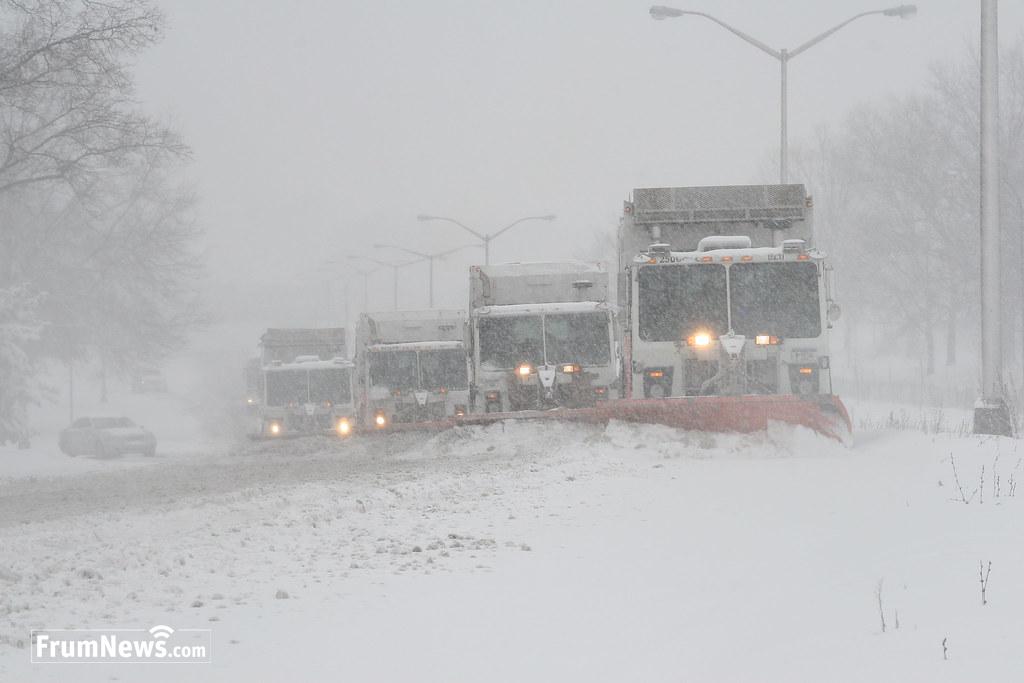
For the winter of 2024/2025 - According to the DSNY, Bladerunner 2.0 Technology Will Better Deploy, Track Snowplows, Salt Spreaders, and Brining Vehicles to Help City Clear More Streets More Efficiently.
By FrumNews.com Reporter
At a press conference, NYC Mayor Eric Adams and the Department of Sanitation, which is in charge of snow-cleaning operations, showed off next-gen tech that will be used to clean up snow and apply salt for the winter of 2024/2025
The new system, known as BladeRunner 2.0, centralizes the deployment and real-time tracking of snowplows, salt spreaders, and brining vehicles, and replaces outdated technology first launched in 2015. Bladerunner 2.0 has been deployed ahead of this year’s snow season, which forecasters predict will be heavier than last year’s. The system will also be used to track DSNY collection and cleaning operations year-round.
“With forecasters predicting a snowy winter, we’re revolutionizing how we track our snow operations and using new technology to keep New Yorkers safe,” said Mayor Adams. “We’ve never been more ready for snow season, thanks to our new Bladerunner 2.0 software that will allow us to better track and support our fleet of approximately 5,000 vehicles across all five boroughs. We’re doing this way, so there is no longer a system of first-, second-, and third-tier streets with different communities receiving different service levels.”
“New York is good to snow,” said Deputy Mayor for Operations Meera Joshi. “With new investments in our snow management technology, we are ensuring that New York is second to none in winter storm preparedness. We’re readying ourselves for whatever the season throws our way.”
According to the Sanitation Department, the new BladeRunner 2.0 system, features: Enhanced GPS tracking data for broader time windows, multiple vehicles, and extended history; Google map integration to provide a modern view — with satellite and street view access — for vehicles and facilities; Real-time brine progress data; New visual layer data with brine coverage locations, snow preposition points, and protected bike lane information; Ability to locate vehicles of interest through proximity features and advanced time frame and location search capabilities; Significantly enhanced search capabilities; and New cloud-based system to allow for more concurrent users and faster response times.
The DSNY claims that due to this investment and other operational changes, streets will no longer be categorized as “primary, secondary, and tertiary,” a system where different communities receive different service levels.


Post the first comment!