New York State Confirms New Congressional Maps, Again

After a map created by the bipartisan commission tasked with creating the New York State congressional maps, ruling democrats in Albany NY created a modified map.
After a map created by the bipartisan commission tasked with creating the New York State congressional maps, ruling democrats in Albany NY created a modified map.
The maps passed in the NY Senate with 45-17 and the NY Assembly approved them 150 to 33 — mostly along partisan lines. Governor Hochul signed it into law on Wednesday.
Context: In 2022, Democrats tried to gerrymander the maps that would improve their chances of winning the House majority, but the maps were rejected by the courts. By 2023, the courts granted a do-over with new maps by a master general ahead of the 2024 election.
Instead, Democrats only made a number of small changes, leaving the partisan makeup intact in most districts.
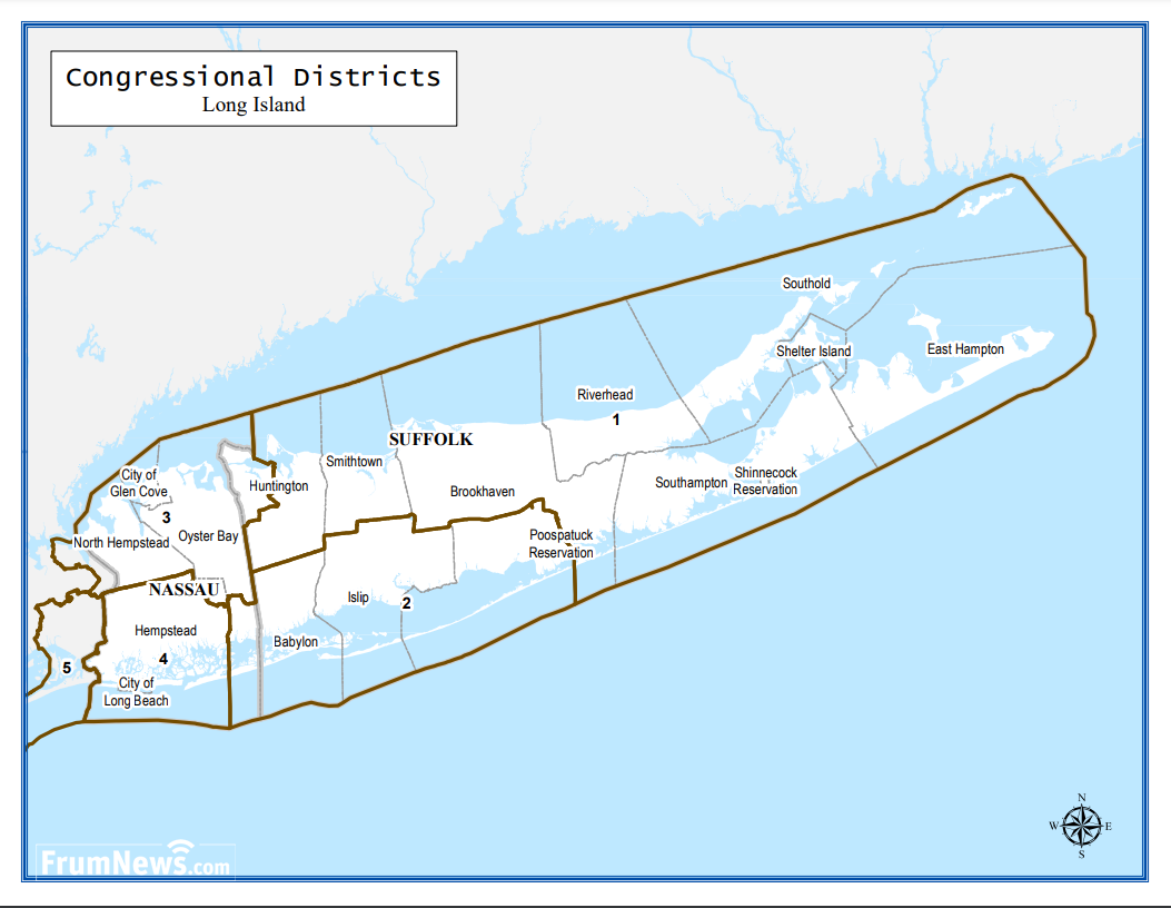
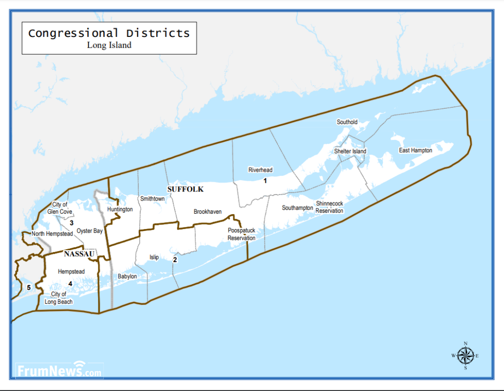
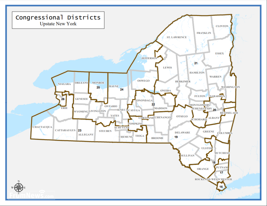
The new maps give left-tilt in some competitive districts including those of Rep. Pat Ryan, a Hudson Valley Democrat, Rep. Brandon Williams, a Central New York Republican, and Rep. Tom Suozzi, a Long Island moderate Democrat, who recently won in a special election after Rep. George Santos was booted from the House.
Political commentator Dave Wasserman calls it a “mild to moderate gerrymander.”
“This is not an aggressive play by Democrats,” Wasserman said. “These are changes on the margins.”
John Faso, the former GOP congressman key to his party’s successful suit against the ’22 maps, said he sees no reason to sue this time around. “There are small changes here or there, but none of them are materially significant from a political standpoint”
Regarding Frum-areas of Brooklyn, 5 Towns and Monsey. The maps and districts are mostly staying the same, The exception being part of Frum South Williamsburg had some inconsequential changes made to it.
Read Next trending_flat
 Events
CHAZAQ Hosts Landmark Gala in Florida — A Night of Inspiration, Unity, and Jewish Pride
 News
News




Post the first comment!