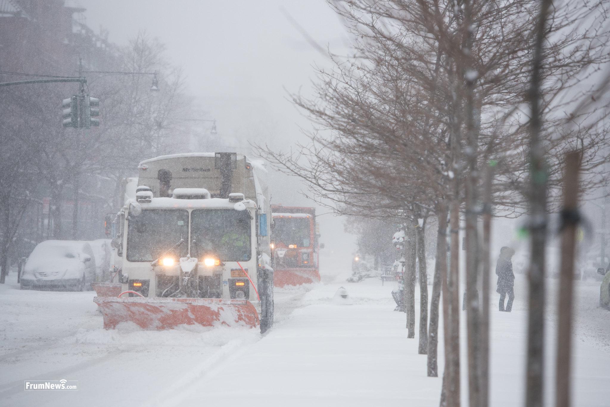
BLIZZARD To Slam New York, New Jersey — With Up To 24 Inches of Snow

The NWS issued a Blizzard Warning for New York and New Jersey for the first time in eight years, with total snow accumulation of 15 to 24 inches possible
By FrumNews.com
Monsey, NY — The National Weather Service (NWS) issued a Blizzard Warning for New York and New Jersey for the first time in eight years, with total snow accumulation of 15 to 24 inches possible:
- New York City, Lakewood and Union City could see up to 18 inches of snow.
- Monsey, Monroe and Philadelphia could see up to 12 inches of snow.
- The Catskills and Scranton will see up to 8 inches of snow
The NWS said the warning will go into effect on Sunday at 1 PM and remain in effect through Monday. Wind gusts are expected to go up to 50 mph, with moderate coastal flooding also possible.
The forecast is still evolving, and a storm tracking farther east could mean much less snow. Some weather models show less than 10 inches of accumulation.
“I’m asking all New Yorkers to stay inside and stay off the roads for your safety. These have the potential to be even more hazardous conditions than we faced the last time around,” NYC Mayor Zohran Mamdani said during a news conference on Shabbos.
The storm could produce the most snowfall the city has seen since 2021, when 14.8 inches hit the five boroughs. The last time NYC faced a blizzard warning was back in March 2017.
From the NWS on Saturday, 3 PM:
- Increasing Confidence – A winter storm with significant impacts is becoming increasingly likely in the Mid-Atlantic and Northeast Sunday into Monday. A combination of heavy snow and gusty winds is most likely along the 1-95 corridor from Philadelphia, to New York City, to Boston, and nearby areas closer to the coast. Changes to the forecast are expected. Check back for the latest updates.
- Heavy Snow Likely – Snowfall rates over 1″ per hour will occur at times, leading to hazardous travel conditions. Where snow accumulates more than 6 inches, the weight of the heavy, wet snow may lead to scattered power outages.
- Strong Winds and Blowing Snow – Strong, gusty winds are expected in the coastal Mid-Atlantic, as well as coastal and southern New England, which may lead to power outages. Where these strong winds overlap with snowfall, expect reduced visibility and difficult travel.
- Coastal Flooding and Erosion – Moderate coastal flooding, with inundation of roads and property near the waterfront, is most likely in coastal New Jersey and Long Island.


Post the first comment!